| Client | Mystic River Watershed Association (MyRWA) |
|---|---|
| Location | Massachusetts |
| Tags | Communications |
| Status | Completed 2020 |
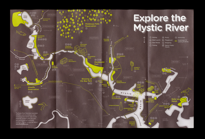
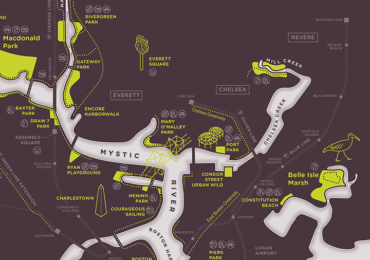
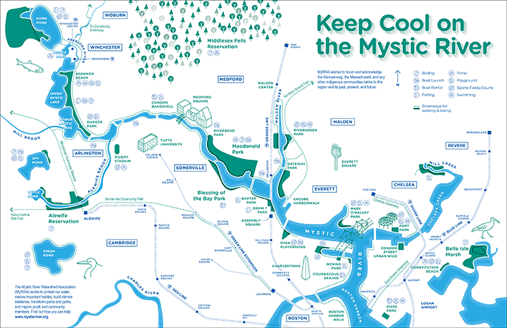
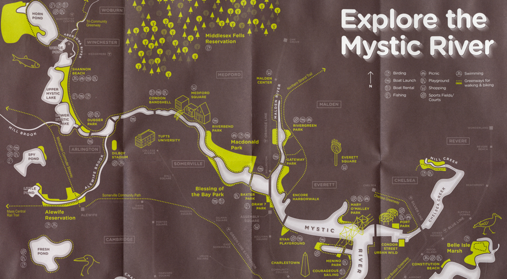
Cool off with a swim, learn to sail, go fishing, kayaking, and birding—many people in Greater Boston are unaware of the variety of activities that can be found along the Mystic River. For that reason, the Mystic River Watershed Association wanted to refresh their trail map to attract would-be visitors. OverUnder designed an illustrative map to showcase the wealth of open space that can be found from Belle Isle Marsh in Boston to Horn Pond in Woburn. Central to the map is the Mystic River itself, which is rendered white against a dark background, allowing the parks and trails to invite exploration. A separate color variation was also created to advise on how to keep cool during the summer.